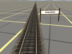
'Jersey City to Atlantic City'is a terrain generated map of the Central Railroad of New Jersey's 'Blue Comet' route from the Communipaw Terminal in Jersey City NJ to Atlantic City NJ .The route is approx.145 miles long. The map has 2204 baseboards, and covers 441 sq miles. There are no 'Tiger Lines' shown, but small signs, indicating the location of cities and towns, have been placed along the track so that conditions in those areas, (Multiple track, yards, roads ,waterways, etc.), can be accessed using USGS topo maps.
 Тип: Карта