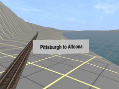
Pittsburgh to Altoona is a terrain generated map of the former Pennsylvania Railroad's main line from Pittsburgh PA to Altoona PA.
There are no 'Tiger Lines, shown, but small signs, indicating the location of towns, have been placed along the tracks so that conditions in those areas, (Multiple track, yards, roads ,waterways, etc.) can be accessed using USGS maps, or Google Maps. The map has 120 miles of track, 1704 baseboards, and covers 341 sq miles. A TrainzMap of the route is available in the content folder. Open the file in Contant Manager, click on 'Edit in Explorer', and look for the Pittsburgh to Altoona RR Map.jpg
 Тип: Карта