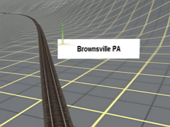
The Monongahela Railroad' is a terrain generated map of the The Monongahela Railroad that primarily followed the Monongahelia River from Brownsville PA in Southwestern PA to Fairmont WV in Northwest WV. Along the way it serviced numerous coal and strip mines in Pennsylvania and West Virginia. There are no 'Tiger Lines' shown, but small signs, indicating the location of towns, have been placed along the tracks so that conditions in those areas, (Multiple track, yards, roads ,waterways, etc.) can be accessed using USGS topo maps. The map has 194 miles of track, 7197 baseboards, and covers 1440 sq miles. A TrainzMap of the route is available in the content folder. Open the file in Contant Manager, click on 'Edit in Explorer', and look for the 'MononTrainzMap.jpg'
 Тип: Карта